


Please stop asking me for my routes
Against the Komootification of bicycle travel

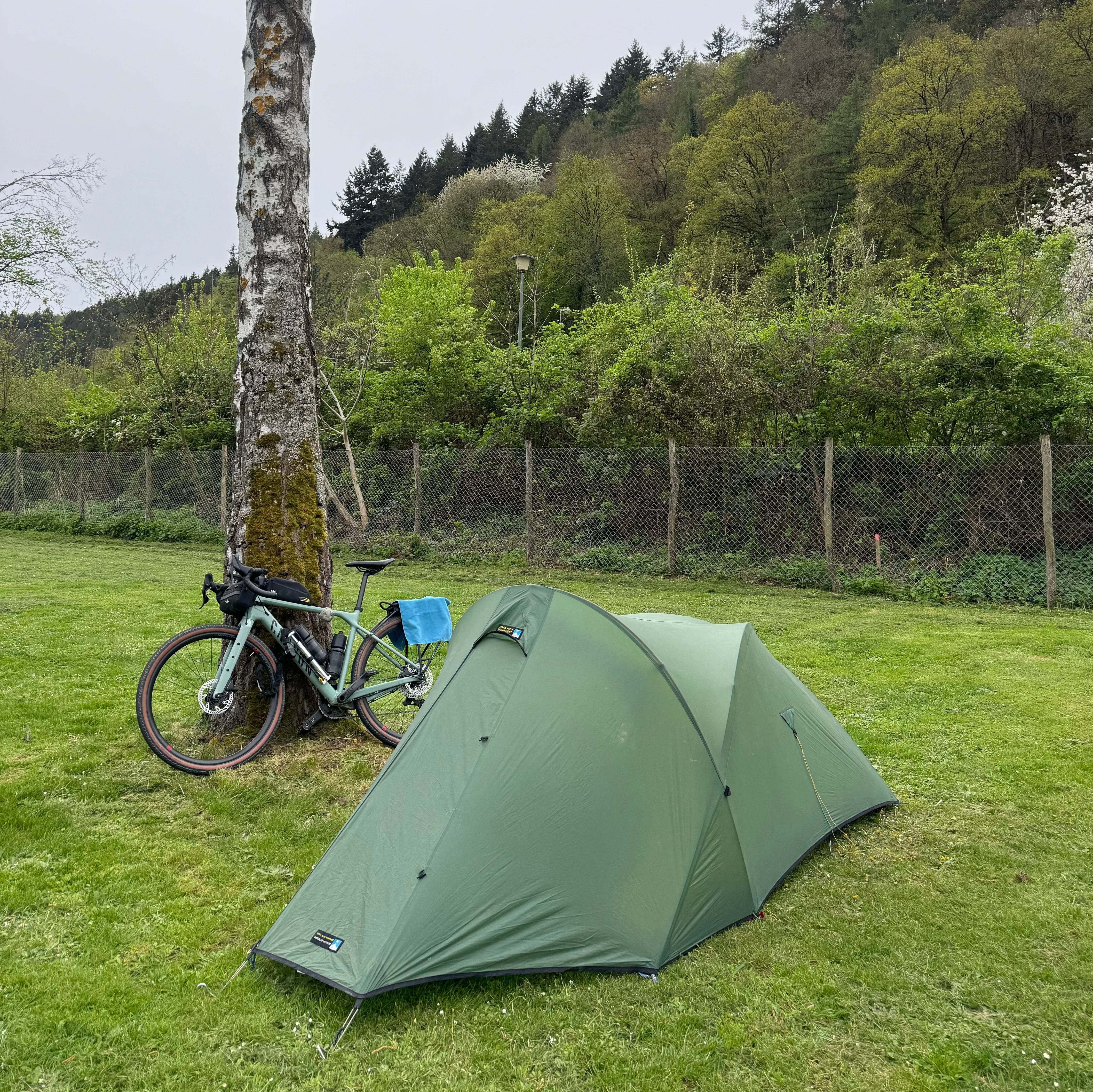
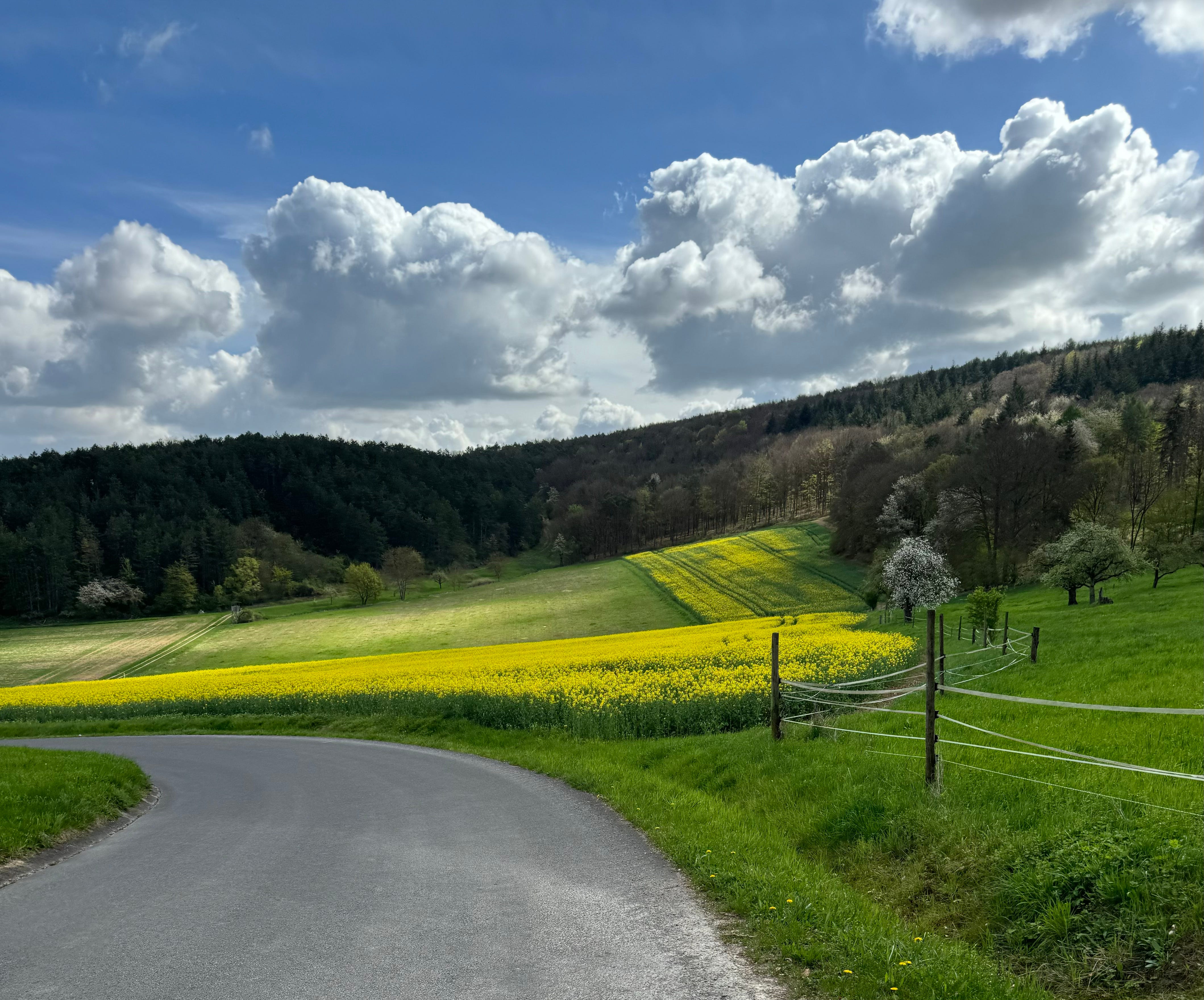
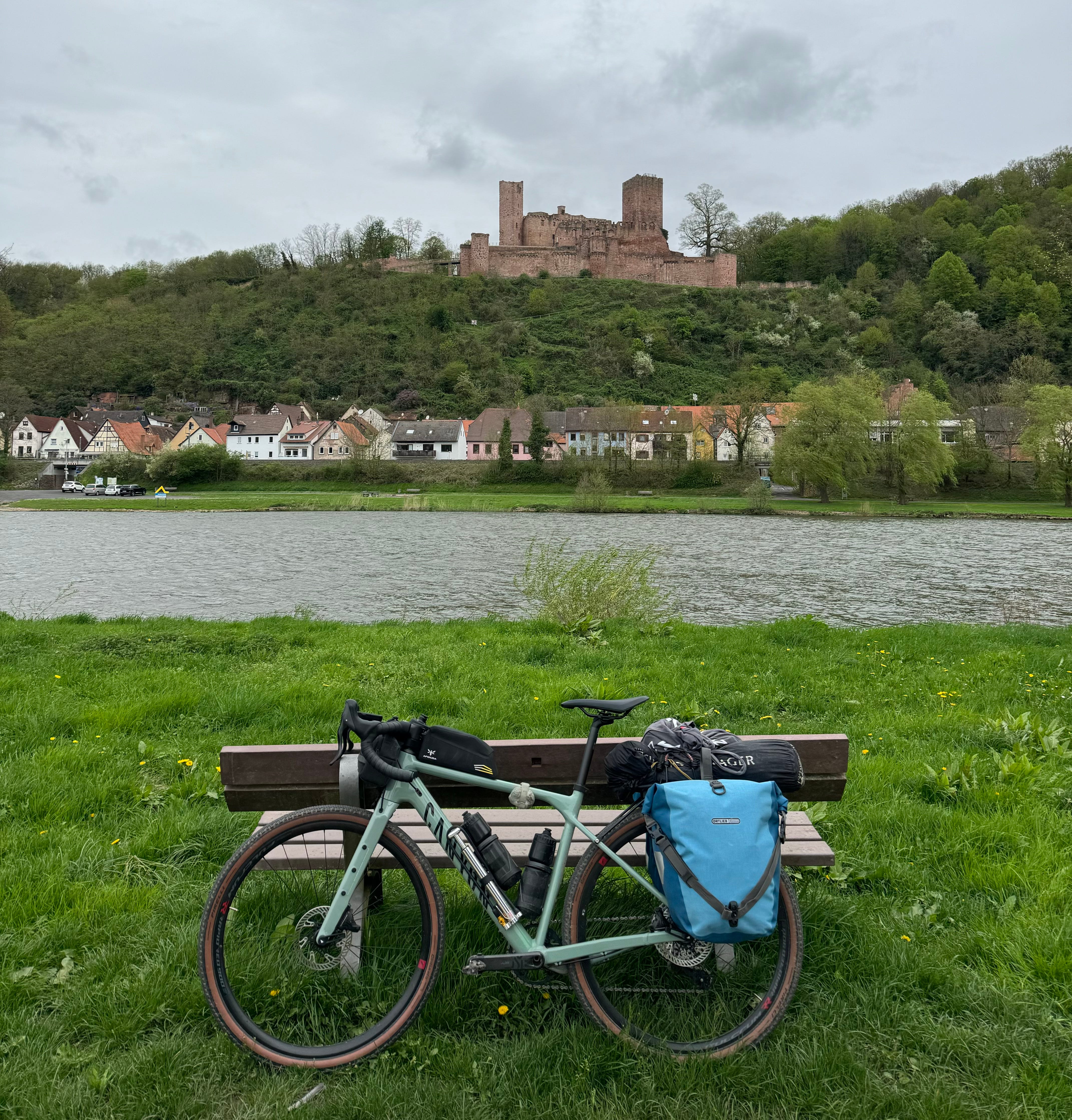
I’m still riding through Germany (haven’t even made it to Czechia yet, though I think I should have done by the time you read this), and still having a lovely time – and I gather, from the numerous responses I’ve had to my Instagram stories, that a lot of other people are enjoying the ride too. I had been worried that, after all my much grander adventures, a gentle bike tour through rural Germany, with daily snapshots of my cake consumption, camping spots and favourite cycle paths, would leave people unimpressed.
But I was wrong – judging from a lot of the messages I’ve received, this is exactly the sort of content people want. Perhaps what bike touring lacks in danger and glamour, it makes up for in the fact that a lot of people like to do it themselves, and recognise their own adventures in mine.
By far the most common message I’ve received is:
Where can I find your routes?
Will you be publishing these routes anywhere?
Let me know where I can get your routes from.
Will you share your routes?
I get asked this constantly these days – pretty much every time I post photos from a bike ride – and I’m sorry to disappoint, but most of the time I don’t share my routes, for several different reasons.
The first reason is privacy. And only about 1% of this has anything to do with personal safety. (You know, I share a route I regularly ride, and someone lies in wait to attack me or steal my bike.) Most of it is just because I don’t like the feeling that people know exactly where I am or where I’ve been. It’s one of the (many) reasons I stopped doing races where I’d be dot-watched.
I’ve been broadcasting my life on the internet for at least 15 years now (as we all do, at least to some extent), and over that time I’ve learned to draw all sorts of lines between what I’m comfortable sharing, and what I’m not. Some of these are obvious decisions based around my privacy and that of the people close to me; some are much more vaguely impelled by whether something gives me a good feeling or not. It turns out that, for reasons I can’t wholly explain, I just don’t like people knowing my exact whereabouts.
This is why I’ve always stayed away from Komoot. I was suspicious anyway, when this new platform surged into the adventure scene, six or seven years ago, and was all at once sponsoring everyone I knew. I wondered where all the money was coming from, and how they could suddenly afford to bankroll most of the adventure industry. Were they selling all the data their users generated? Once or twice I tried googling to find out if anyone else was asking these questions, but all I found was endless spon-con and Komoot-branded collaborations with cycling magazines. Which only made me more suspicious.
But also, although in principle I like the idea of people having readier access to decent routes and interesting places to go, I just couldn’t sign up to a contract that would oblige me to feed all my favourite places and local secrets into the content machine. A lot of people I know have worked with Komoot (and I should say at this point that I don’t condemn them for this, or indeed think that it needs to be a right-and-wrong situation; maybe mine can just be one opinion among many), and been under pressure to publish at least one route a week, even during lockdown, when it was impossible for them to travel very far from their houses. For someone in a rural area, with a lower density of roads and trails, it would quickly become easy to pinpoint exactly where they lived.
I do share routes, from time to time (mention that you’re thinking of visiting Mid Wales, and I will inundate you with unsolicited advice, .gpx files and café recommendations), but I want it to be on my terms – I don’t want to feel contractually obliged to hand over every single ride to the public domain.
I know one of the big arguments in favour of platforms like Komoot is that it makes the outdoors more accessible, and benefits people who don’t yet have the expertise to plot their own routes, or the community to share them. And we’re all busy people. If you’re spending a weekend in, for example, the North York Moors, and only have a couple of hours to get out on your bike, it’s far easier to pick a route up off the internet, than to spend your precious time researching and planning your own.
So I’m not arguing that route-sharing platforms should disappear completely. I’m sure there are people reading this right now who have had a wonderful time on a route they picked up from Komoot, and discovered new parts of the country as a result. I also know a lot of people who have worked with and for Komoot and have nothing but the best interests of their fellow cyclists at heart. I don’t think it’s all bad.
However, another thing that concerns me is that the quality of the routes is, as far as I’m aware, unmonitored. I have spoken to people over the years who followed a Komoot route, only to find far more mud, gravel, traffic or stiles than the app promised, and subsequently realise that the person who wrote up the route hadn’t ridden it themselves1. This is annoying for a person like me, who doesn’t want to get her precious road bike dirty, or have to lift her mountain bike over a stile, but it would be far more inconvenient – and even dangerous – for someone using an e-bike or an adaptive cycle, who didn’t have the ability to haul it out of a bog or hoick it over a fence.
I once heard an alarming account (first-hand) of someone who had planned their route using Komoot, and ended up riding across a live firing range. Now of course, this could happen with any route-planning app, and to any ill-prepared person. But I don’t like the thought of someone downloading a route in good faith, and blindly following it into danger, assuming that they’re in safe hands. At least if they’d had to go to the trouble of researching the area themselves, they might have had the chance of noticing what hazards it held.
There are, I would argue, more than enough professionally curated routes in the public domain to keep any beginner busy until they have gained sufficient experience to start planning their own.
I started writing a paragraph of recommendations here, but it got far too long, so I’ve turned it into an appendix at the end of this essay. Feel free to go and have a read of it now though, if you want, and scroll back to this picture once you’re done.
What you’ll notice – and what I noticed afresh, as I wrote – is that a great deal of work goes into planning a really good route, which is yet another reason I don’t often share mine.
I do a lot of cycling, in a lot of different countries, and most of the routes I ride, I’m seeing for the first time, and won’t have the opportunity to go back and refine or correct them. If I were to share my tracks for the last couple of weeks in Germany, I’d at the very least have to edit out all the places I started and finished (so as to protect the privacy of my hosts and wild camping spots). I’d also have to take out all the bits where I realised I’d gone wrong and U-turned – or where I realised I’d gone wrong and didn’t U-turn, but instead laboriously rode round three sides of a square to get myself back on track. And I wouldn’t be able to confidently recommend whatever was on the fourth side of the square, because I wouldn’t have seen it.
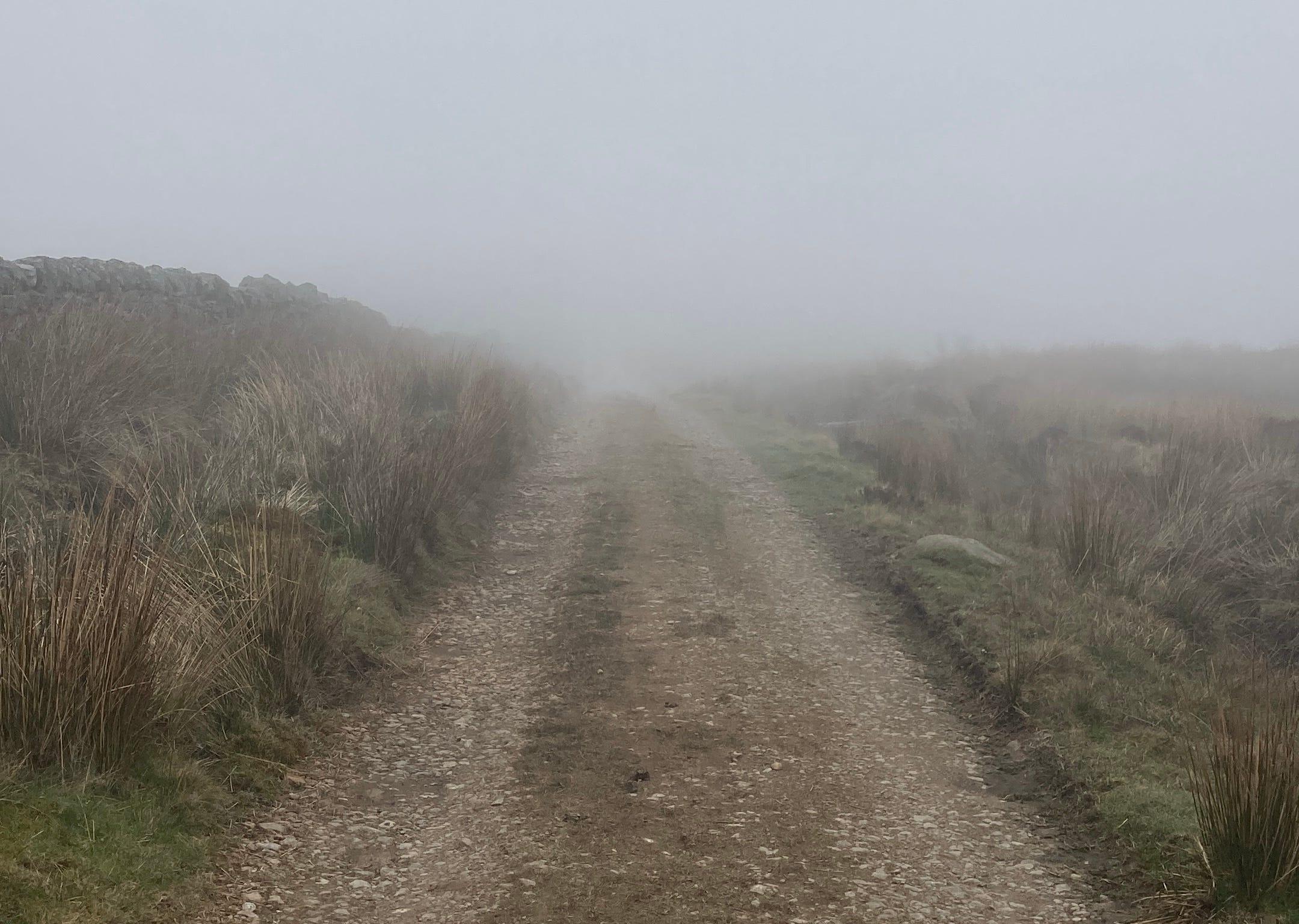
I haven’t seen most of this route in any other season, so I couldn’t tell you how conditions might vary. Maybe a lot of the lovely riverside gravel paths I’ve followed would be impassably muddy in winter? I just don’t know. Maybe they’d be crowded with tourists in summer? I couldn’t tell you.
When I plan a trip abroad, I spend as much time as I can drawing up a route before I go – but sometimes that’s not much time. And then I ride that route, or some variation on it (very often I’ll abandon my planned track, if I see a signpost pointing in a more sensible direction, or some other tempting distraction), and I discover a lot of things along the way that I wish I’d known about in advance. Often, when I’m in a hurry towards the end of the ride, I have to zip past places of interest (or tantalising gravel roads leading off into the woods) without stopping to investigate them. I often come home wondering if I’ve missed the best of the area I’ve ridden through, or telling myself that I must go back someday, and really get to know it.
If I had a contract with Komoot, I’d have been obliged to put up a post after my trip saying “had a great time in Deutschland, here’s a link to all my routes.” And what I really think you should do, rather than look at where one ill-informed foreign tourist happened to go, is search for local experts: the people who spend their lives exploring and documenting a particular area, who put days and weeks of work into refining and recce-ing their routes, and who very generously share the results with the rest of us.
Even my routes at home often leave a lot to be desired. In every area I’ve lived, I have a handful of good ones – the tracks I’ll send my friends if they’re in the area for a few days, and want a couple of hours of hilltops, the quietest route between two towns, or a picturesque grass-up-the-middle pootle that ends at a favourite café. But if you looked through my Ridewithgps2 profile, you’d see a whole mess of routes I regret riding (seemed like a good idea on paper, but in reality had far too much traffic), routes I haven’t got round to riding yet, very specific routes between friends’ houses, 0.7km routes that I plotted in order to send someone a .gpx track for a particular section of trail, boring routes I use when I just need to get somewhere, and complicated routes where I tried to find a way round a steep climb, but ended up riding up an even steeper one and then dragging my bike through a bog.
There are so many routes I’d never share, either because they’re objectively bad rides, or because for some reason I don’t think it’s a good idea for other people to use them. In one or two cases I’ve negotiated access with a landowner I know personally. In other cases I may have done a little light trespassing, and definitely wouldn’t want anyone else to follow. Sometimes I don’t want to send people a certain way because I think I know better than most, and reckon it wouldn’t be safe for a lot of cyclists. Sometimes it’s because I don’t know better, and shouldn’t have been there myself. Or it might be because I don’t want to risk sending loads of people into a delicate ecosystem. They’re welcome to use the map to discover it themselves, of course, but they won’t be hearing about it from me.
Advising other cyclists to ride a particular way is a huge responsibility, particularly if you’re taking them off-road, or to remote areas. When I lead a ride in person, I do my very best to recce it as close to the event as possible (even if I know it well – conditions change). Next month I’ll be riding the Pennine Rally for the second time (an event that’s challenging, but also aimed towards people with less bikepacking experience), and I am very reassured to see that Louis, the organiser, will be riding the full route a few weeks beforehand, as he does every year. (And every year he adjusts it slightly, responding to things he’s found along the way – I’m looking forward to seeing what’s changed since 2021.)
I do not take on this responsibility lightly. As it happens, I’ve recently been doing some work developing routes in South Yorkshire (official announcement coming next month – this is actually quite an exciting project, so you can expect to hear a lot more about it), and I’ve already far more time into researching them than I have riding them. There are paper maps pinned up on every wall of my workroom, and I have a complicated multi-layered online file with important locations like public toilets, gates, chicanes and other barriers, local stations, cafes, bike shops, playgrounds, iron-age hill forts, and anything else you might need to know about on a bike ride. Within the restrictions posed by all of these, I’m trying to make the route accessible to as many cyclists as possible. I will recce every inch of it at least twice before it goes live, and I’ve already covered many miles just figuring out which sections of it won’t work.
There is no way I could do all this without being paid for it. (I think some people actually do, and I remain in awe of their diligence and generosity.) And fair enough, you might think – all of the influencers who, over the last few years, have posted their contractual weekly routes and quarterly collections on Komoot, were being compensated for their pains.
The problem is, now the money’s dried up. Most of the people I know who used to be sponsored by Komoot aren’t any more: contracts are being apologetically cancelled; “budget cuts” are cited.
I very much sympathise with these people – making a living as a brand ambassador is terrifyingly precarious. No matter how hard you work, and how much everyone loves you, a sizeable chunk of your annual earnings can be wiped out at any moment by a change of corporate strategy or the whim of a Marketing Director. I also feel for the employees who are having to have these difficult conversations with the ambassadors they may have come to regard as friends. They didn’t decide to cut off the funding.
What bothers me is that that half-decade of abundant cash has changed the culture in which we operate. Now everyone expects you to share your routes. Maybe that was the plan all along - it’s a perfectly legitimate strategy: to invest in creating a broader market for your product. Komoot don’t need to pay ambassadors any more, because even if all the influencers stop posting every route they ride, it’s now the conventional thing to do. People are constantly asking me to share mine, and this didn’t happen at all until a couple of years ago. A friend who used to work with Komoot says she’s relieved to be free of the “invasive” obligation constantly to publish routes, but still has an inbox full of people requesting them.
I know that everyone who’s asked for my routes in the last couple of weeks has pure intentions. I assume that either you’re thinking of riding this way yourself3, or you’re like me, and enjoy aligning the stories someone is telling you with their precise location on the map. Perhaps it’s hypocritical of me not to indulge this impulse in other people, since I have it myself - but please, some things have to remain private. There are enough people in the world who enjoy curating and sharing their routes; who happily do the work; who want to bring you along for the ride, and tell you exactly how to get there yourself. I admire them, and I’m grateful for all the labour they perform for the rest of us to benefit from. But this work is a special favour, and not something we should expect as a matter of course.
Thanks for reading,
Emily
The Best Route-Planners
Here’s a small selection, mostly UK-based, off the top of my head. I’m sure there will be many equally good resources (including talented route-designers who share their work on Komoot) that I can’t call to mind at this moment – perhaps let me know in the comments if there are any obvious ones I’ve missed.
Cycling UK has developed several long-distance bikepacking routes in different parts of the UK, most of which are accessible by public transport at various points, and come with very detailed step-by-step route guides. I have ridden sections of King Alfred’s Way, and am planning to do a bit of the Traws Eryri with my father, when I get back from this tour. Check out their Routes page for lots more suggestions.
Markus Stitz, the brains behind Bikepacking Scotland, has put a phenomenal amount of work into developing routes over the last few years – I am as impressed by his diligence as by its results. As well as all of the wonderful resources available on his website, he has written several books, including Bikepacking Scotland (a quintessential guide), and Great British Gravel Rides, in which he enlists local experts (like Gail Brown, Jenny Graham and Emma Osenton, all of whom I have ridden with and whose wisdom I firmly endorse) to show us the very best gravel routes around the UK. You might flinch at paying £25 for a book – but as the Road.cc review points out, that works out at less than a quid per ride, and isn’t that a price worth paying, for the enormous amount of work that went into researching, recce-ing, and documenting all of these routes?
Jack Thurston almost goes without saying. His Lost Lanes series (“passionately researched, meticulously plotted and thoughtfully devised,” according to Emma Silversides) redefined the way we approach bike routes, and inspired many of the guidebooks that have been published since. Each beautifully illustrated book (Jack is also a talented photographer) documents the various historical, cultural and geographic features you’ll enjoy on your ride, recommends cafes and pubs, and includes links to download the .gpx files, or if you prefer, printable OS maps. Budget can’t stretch to yet another book? Order it from your local library! (But do please also consider the months and months of work that Jack puts into each edition of Lost Lanes.)
Katherine Moore is one of the shining stars of the UK cycling industry, and as well as writing, presenting, and generally geeking out about all things gravel and bikepacking, she has developed routes such as the East Devon Trail, which I’ve yet to ride, but do not cease to hear good things about. She is also the lead writer of the recently published Best Bike Rides Great Britain, which I’d recommend for riders who are not expert-level gravel-grinders – as with Markus’s book, different chapters are authored by different local experts. Katherine hosts all her routes on Komoot, so if the ride you’ve downloaded is one of hers, you’ll know you’re in safe hands. [Addendum: The day after I published this, Katherine announced that she has signed with Vertebrate Publishing to write Gravel Rides South West, and someone I know said that “waiting for Katherine Moore to drop a new Komoot collection is like waiting for your fave band’s new album to come out".”]
If you’re into Audax (which is generally a great way to discover routes, as they’re invariably devised by very experienced cyclists who want to showcase their favourite roads), I’d particularly recommend the events run by Will Pomeroy. I’m a big fan of his GWR series, which showcases the bottom left quarter of the UK “based on the extent of the former Great Western Railway”. Will’s routes are shockingly hilly (I recce-ed one of his 300s with him once, and we were both destroyed by the end), and offer an endearing preponderance of railway infrastructure, past and present. (Unsurprisingly, there seems to be an overlap between Audaxers and train fans.)
It's an app for running, rather than cycling, but I’d strongly recommend Skamper, if you’re looking for new routes near you – or if, like me, you often find yourself briefly in another town or city, and in need of a nice route to run before breakfast. There are lots of good reasons to use Skamper (I’m a big fan of their age-graded leaderboards), but one of the main ones is that every single one of their routes is carefully plotted by cartographers, race organisers and lifelong runners. They have high standards – I once submitted one of my favourite local runs (mostly in parks and on footpaths), and they politely declined it, saying there were slightly more road crossings than they’d like. And to make sure everything is as safe as possible, they also neutralise road crossings and other potentially unsafe sections, removing them from the timings so that no one is tempted to take undue risks.
Bikepacking.com has a huge collection of routes from all over the world. Some will take you weeks or even months to ride; others are designed as overnighters from busy urban areas. (There are a couple of good ones from Sheffield and Manchester that I’m looking forward to trying.) I can’t speak for every single contributor to the site, but I know a lot of them personally, and can confirm that their routes are the result of extensive research, multiple recces, and collaboration with other local cyclists. These routes are all available to download for free, though if you’re able you can make a contribution to the site, either financially or by letting the hosts know if anything has changed since the route was published.
Someone I know, a former Komoot ambassador says “ah yes, this is called ‘getting Komooted.’”
The routing app I’ve always used. I recommend it, but I also think you should just use whatever works best for you.
And I promise I’ll publish a verbal description of my route in the next couple of weeks, so that you can plan your own trip around mine if you really want to.
YES! Thank you! What a weird, unnecessary, and unhuman burden to fulfill. I just want to enjoy my ride. (Which also once included cycling through a live firing range 😳 this was before smart phones...)
👏 A few years back I wanted to apply to a Bikepacking (although it was for my touring) event to speak and show images. A requirement was .gpx points of your entire route. Ha! And you should have seen the shame that was put upon me for asking about this on an IG post. I second everything you’ve written and I have spent months and even years researching routes, terrain, borders with in person reconn. You’ve inspired me to start making my Strava rides private (minus the MTB trails that are accessible to everyone!)
Let’s all return to a world of little quiet and privacy. Happy to finally be here Emily! 💜